
Browse Items (8242 total)
Sort by:
-
-
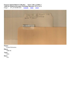
TARCOG Historical Inventory Workshop Materials, 1973 (1 of 2)
The section contains content relating to a number of historical-building / site surveys covering numerous counties as well as a guide-book that instructs how to conduct such a survey. Contains official forms required for conducting survey as well as a step-by-step guide and timeline essential to completing survey efficiently and effectively. Includes staff-list, expected deadlines and inventory of historical sites to survey. Contains handwritten notes on some pages correcting typos. -
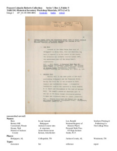
TARCOG Historical Inventory Workshop Materials, 1973 (2 of 2)
This section primarily contains a list of locations / buildings to be surveyed along with short descriptions to provide context to their historical significance. Contains handwritten notes indicating and correcting typos and errors. -
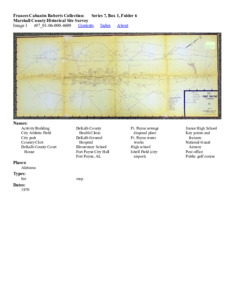
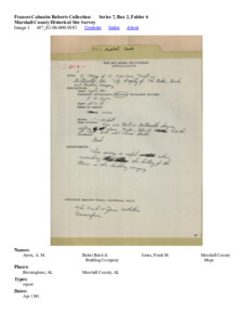
Marshall County Historical Site Survey
This section contains documents, maps and reports, both handwritten and not related to the Marshal County Historical Site survey. -
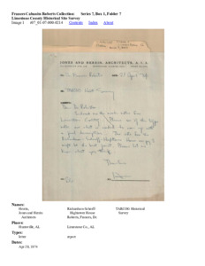
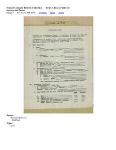
Limestone County Historical Site Survey
This section primarily contains handwritten reports and applications for certain buildings / sites to be considered Historic buildings / sites related to the Limestone County Historical Survey. Applications contain descriptions and historic context to justify their admittance. -
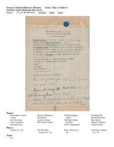
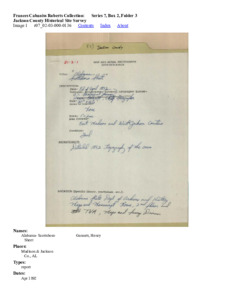
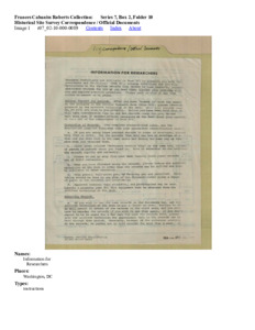
Jackson County Historical Site Survey
This section contains handwritten notes, reports, forms and applications related to the Jackson County Survey. Contains a pair of photographs that are unidentified. Many of the documents have various hand-written notes and markings either omitting details, correcting errors, or adding additional information. -
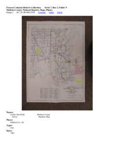
Madison County, National Register, Maps, Photos
This section contains register forms, maps and photographs either displaying or related to historic sites and buildings within Madison County, Alabama. Contains identification forms providing context or additional information for the historical site / building referenced in the document. -
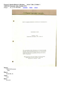
TARCOG Economic Atlas, October 1972
This section contains the TARCOG Economic Atlas for October, 1972. The Atlas is divided into sections, each section dedicated to tracking the nature/statistics of different essential aspects to TARCOG-controlled territory in Alabama. -
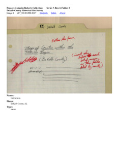
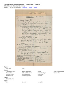
Dekalb County Historical Site Survey
This section contains a handful of reports related to photographs (not present), describing their size, significance and additional descriptive details. -
Jackson County Historical Site Survey
This section contains reports related to the Jacksonville Historical Site Survey. Relates specifically to photographs taken of different types of maps. Photographs not included. -
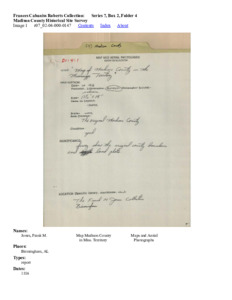
Madison County Historical Site Survey
This section contains reports and maps related to the Madison County Historical Site Survey. Maps appear to be hand-drawn. Contains reports and maps from Madison County, Mississippi and Madison County, Alabama. -
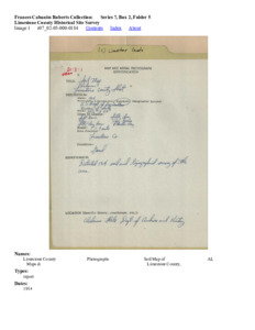
Limestone County Historical Site Survey
This section contains reports related to the Limestone County Historical Survey. Relates specifically to maps and soil maps, including descriptions and historical significance. Maps and Soil Maps not included. -
Marshall County Historical Site Survey
This section contains reports related to the Marshall County Historical Site Survey. The reports are centered around soil-maps and other maps related to traffic. -
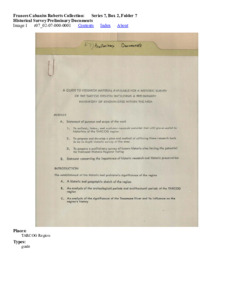
Historical Survey Preliminary Documents
This section appears to be a collection booklet of TARCOG correspondence, job descriptions, employee/management registers and survey forms. Contains maps paired with certain survey reports. -
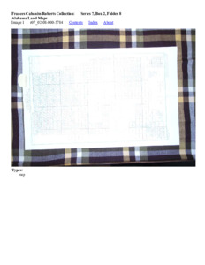
Alabama Land Maps
This section contains a catalog that, itself, contains maps organized by their different types. Contains index that displays where each map is within the catalog. -
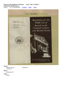
Publications and Brochures
This section contains information booklets from the National Archives and Records Service as well as correspondence, pamphlets and post cards from Alpine Cave. -
-
Surveys and Forms
This section contains survey forms cataloguing historic sites and maps. -
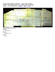
Dekalb County, Alabama Map and Aerial Photograph Identification
This section contains documents and maps related to a historical survey. -
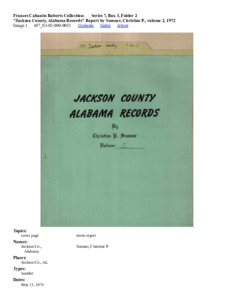
Jackson County, Alabama Records Report by Sumner, Christine P., volume 2, 1972
This section contains a report booklet written by Christine P. Sumner. Contains numerous census lists that cover death-rates, land-lists and assessments.